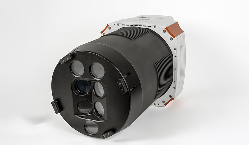
Vexcel Imaging used Intergeo 2026 to unveil the UltraCam Condor 5.0, a new aerial mapping camera aimed at large-scale and nationwide geospatial data collection. With up to 83,000 pixels across the flight strip, the company says the Condor 5.0 covers more ground in a single pass than any aerial mapping system to date.
The camera will come in several models, with image widths across the flight path ranging from 57,800 to 83,000 pixels. It uses the same Sony IMX811 sensors Vexcel has used across its UltraCam range since 2025, each with 247 megapixels and a 2.81µm pixel size, capturing red, green, blue and near-infrared channels. A central downward-pointing camera is flanked by slightly tilted outer cameras to widen coverage while keeping geometry consistent. Operators can choose between three focal lengths (f90, f120 and f150), with exchangeable lens kits on selected models.
Vexcel says the Condor 5.0 delivers up to 71% more coverage across the flight strip than its predecessor, translating into proportionally fewer flight lines, less flight time, lower fuel consumption and reduced operational costs for large-scale mapping programs. The camera can capture up to one image every 0.7 seconds and will be offered in five models.
"With the UltraCam Condor 5.0, we are redefining the limits of wide-area mapping," said Alexander Wiechert, CEO of Vexcel Imaging. "It enables our customers to reach a new level of mapping productivity, covering vast regions of thousands of square kilometres without compromising quality."
Vexcel developed the Condor 5.0 alongside an update to its UltraMap photogrammetric processing software, which now includes a machine-learning-based reconstruction process the company says produces consistent elevation models (DSM and DTM) and orthophotos from the camera's very wide images. The software also uses Vexcel's True Pixel Processing technique, including Adaptive Motion Compensation to reduce image blur from aircraft movement.