Leica Geosystems, part of Hexagon, has launched the Leica X-PAD portfolio, a combined offering of field software, instruments and connected services aimed at everyday surveying tasks. The portfolio is built around workflows long used by GeoMax customers, which the company describes as easy to use and flexible.
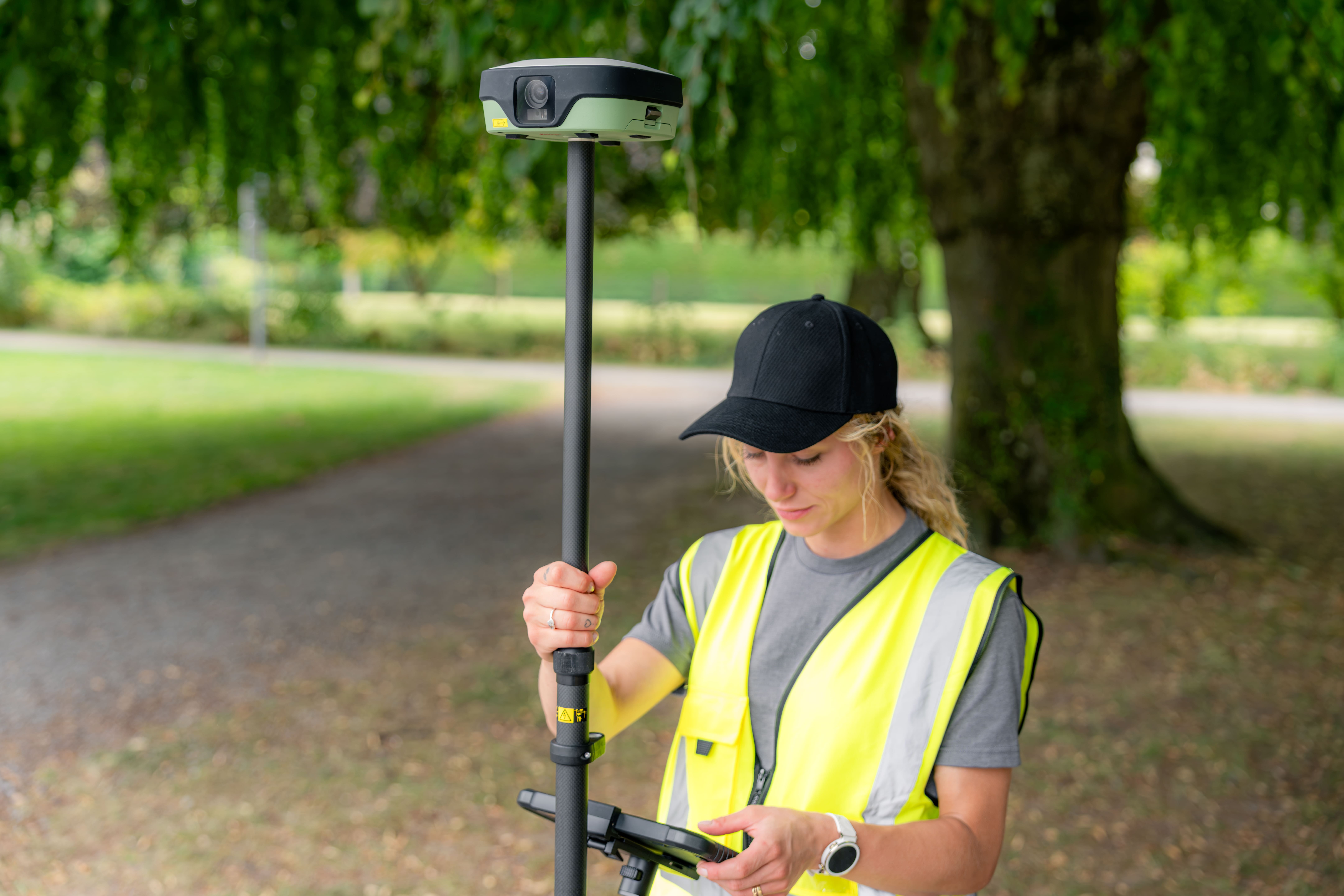
A key product in the launch is the new Leica GS11 GNSS smart antenna, which adds augmented reality (AR) guidance and image-based measurement to routine fieldwork. According to the company, surveyors can use a live view of the site to navigate to points, review captured data before leaving, and take measurements from images, including points that are difficult or unsafe to reach with a survey pole.
"A large part of surveying is the routine fieldwork that needs to be carried out to professional standards, often by teams with varying levels of experience," said Elmar Lenz, head of Business Line Surveying at Hexagon's Geomatics Division. "Leica X-PAD is deliberately simple: it offers one clear workflow through the job, combined with instruments teams can depend on."
The X-PAD software lets field teams view survey data, including drawings, surfaces and BIM data, in 2D, 3D, map and site views. With the GS11, it overlays stakeout guidance and design or captured data onto live site images. Besides the GS11, Leica X-PAD runs on the Leica GS05 GNSS smart antenna and the Leica TS13 robotic total station, and Leica X-PAD Fusion extends the workflow to the office via Hexagon GeoCloud for data exchange and Hexagon SmartNet for GNSS positioning services.
The new portfolio sits alongside Leica Geosystems' existing software lines: Leica Captivate covers the full range of surveying projects and Leica iCON targets construction, while Leica X-PAD is aimed at a limited set of routine tasks. GeoMax products remain on sale, technical service continues, and GeoMax partners will sell Leica X-PAD alongside the Leica Geosystems network.