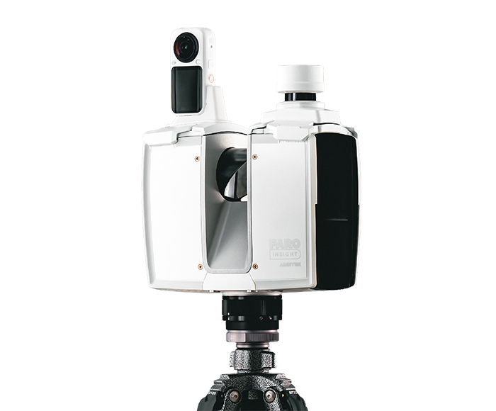
FARO Insight has introduced two new terrestrial laser scanners, the Focus i.1 and Focus i.1 X, along with Rovi i.1, an entry-level mobile reality-capture package, GIM International reported. The launches were timed for INTERGEO in Munich and Autodesk University in Las Vegas. FARO Insight is the new name for FARO's reality-capture business, created in January 2026 when AMETEK, which acquired FARO Technologies in 2025, split the company into separate industrial-metrology and reality-capture units headquartered in Korntal-Münchingen, Germany.
The Focus i.1 X carries a mountable GNSS/RTK receiver and a scanning range of 400 metres, allowing scans to be georeferenced in the field rather than tied in to control afterward. Both new scanners have upgraded hardware, faster colourized scanning, better positioning technology and object-scanning accuracy of up to 0.9 mm. "Reality capture projects are often a balance between speed, accuracy, and ease of use throughout the scanning process," said Dietmar Wennemer, Business Unit Manager at FARO Insight. "What stands out about the new Focus scanners is how they address all three."
FARO's Sphere XG cloud collaboration platform and SCENE desktop processing software, which includes AI-based data cleaning, are now sold through a new subscription model. A coming update, SCENE 2027, is intended to cut point-cloud generation on large projects from hours to minutes and add an AI filter to remove reflections from glass and mirrors. Rovi i.1, developed with 3D spatial intelligence company Manifold Tech Limited, bundles a mobile scanner with a software subscription aimed at a broader, more cost-conscious market, with data processed in Sphere XG and analysed in SCENE.
FARO Insight also announced integrations with outside platforms: a cloud-to-cloud link with Flyability's Inspector Online that moves point clouds captured by Elios 3 inspection drones directly to the FARO platform, a coming scan-to-BIM service called IPX (Integrated Projects) within Sphere XG, and an integration with Qbitec expected later in 2026.